
Walk Thirteen - Cleehill village, Clee and Titterstone Hills and southern common with wonderful views
The image at the top of the page shows the spectacular Titterstone Incline on the Ludlow and Clee Hill line.
Industrial footnotes in every step
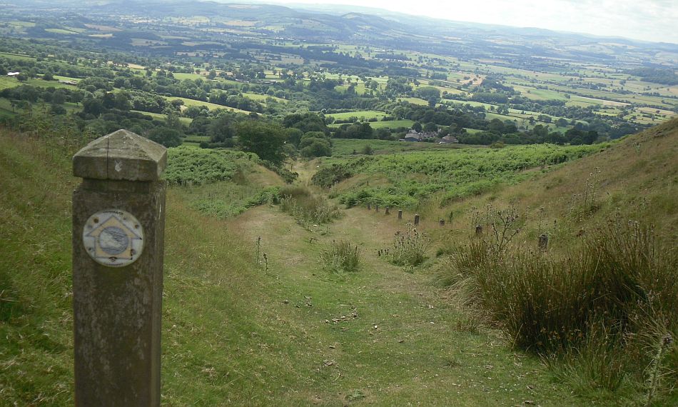
The lofty village of Cleehill has all the appearance of a mining enclave in the Welsh Valleys. The settlement has grown up in the last 200 years to serve the needs of those working in the coal mines, stone quarries and related industries. Wherever we go on this hilly walk, there are remains of railways, quarries and tips of spoil providing clues to help us unravel the story of an industrial past and present.
Over the centuries, people settled in the ring of villages around the hill and used the open moorland as common grazing for their sheep and cattle. The Mappa Mundi in Hereford Cathedral, conceived at the beginning of the 14th Century, is testimony to its significance - Clee is the only named hill in Britain. It was probably already important at that time for coal and would have been the highest point visible north of the Cathedral Tower. In case we are in any doubt about which one it is these days, a golf ball is teed up on the summit, courtesy of the National Air Traffic Services radar network. Properly known as Titterstone Clee - at 533 metres, it’s the third highest peak in Shropshire, Three and six metres lower than Stiperstones and Brown Clee respectively, but about 100 metres higher than the highest of the Malverns.
On the way up to the old workings on Titterstone, we pass the imposing water filled depression next to the working quarry on Clee Hill. The old Ludlow and Clee Hill Railway was built around the flanks solely to transport minerals from the hillside quarries; just below the breath-taking summit viewpoint, a stretch of old Narrow Gauge track, known as Titterstone Incline, climbed 600 feet in one and three-quarter miles with a climactic gradient of about 1 in 6. If the line wasn’t a big enough test for the most experienced drivers between 1864 and 1960, wet weather would often make the rails slippery - with the maximum load of 85 tons being cut in order to make the journey down the incline safe.
On our return, by the austere houses at Rouse Boughton terrace, we pick up the altogether flatter bed of the Standard Gauge track which serviced the quarries, south and east of Titterstone. The stone quarried, mainly limestone, has been used principally for road-building.
If carrying on down below the viewpoint and toposcope at Cleehill, there are traces of an elusive, but welcome visitor from Wales. On our route, a dressed stone pillar marks the line of the Elan Aqueduct carrying drinking water to Birmingham. Known as the Studley Tunnel, it burrows here under the southern end of these Clee Hills; curiously, permanent concrete pillars, known as monuments, were used as sighting points to keep the pipeline straight. If you look down into the valley to the east, you will see its course through the impressive Studley Aqueduct; tell-tale spoil from the tunnel workings can be seen as a smooth green mound at the base of our hill. So, as you steal your way down through foxglove, bracken, gorse and sundew, listening to skylark, kestrel, buzzard and raven, the common also holds promise of a rare sighting of the “Lesser Spotted Pipe bird.”